About Us
Latitude Spatial is an Australian geospatial services company specialising in advanced aerial mapping, remote sensing, and data analytics. Our core services include hyperspectral imaging, aerial photography, LiDAR mapping, and spatial data analysis for sectors like mining, environment, and government.

Our Services
Precision Mapping and Actionable Intelligence. Delivering complete geospatial solution to industry.
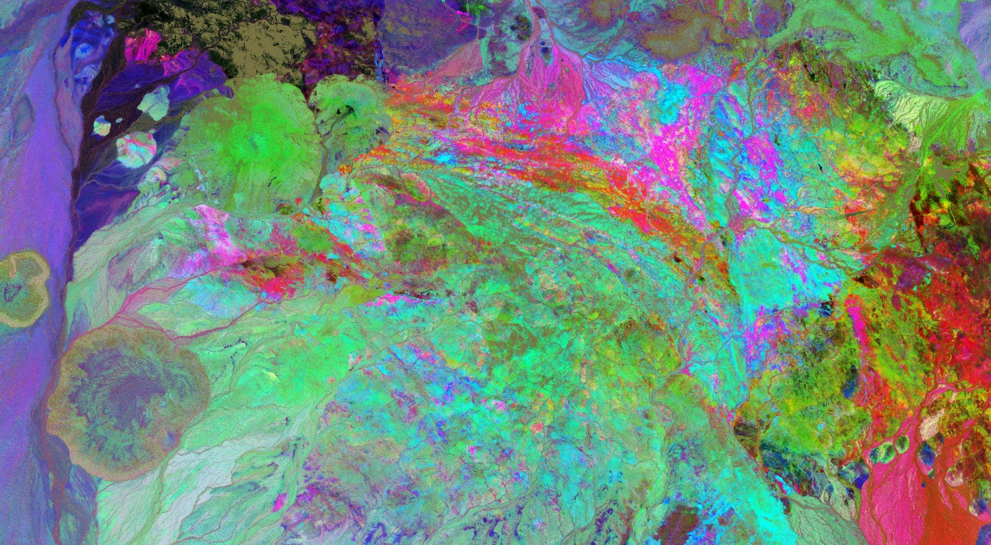
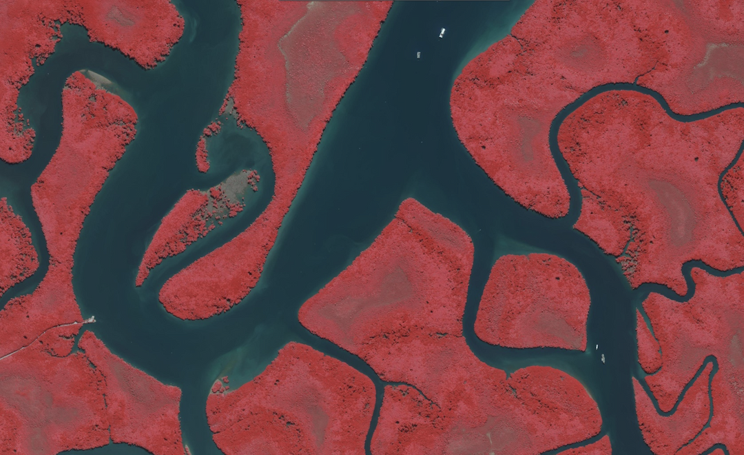
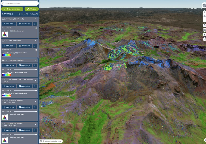
Hyperspectral Remote Sensing
Unlock detailed mineral, vegetation, and environmental insights with advanced airborne hyperspectral imaging.

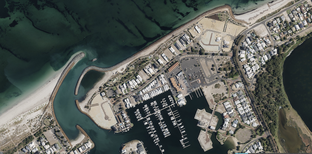
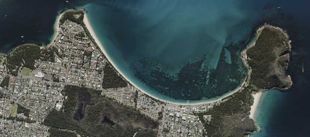
Aerial Photogrammetry
Capture high-resolution aerial imagery for accurate mapping, 3D modeling, and site analysis.
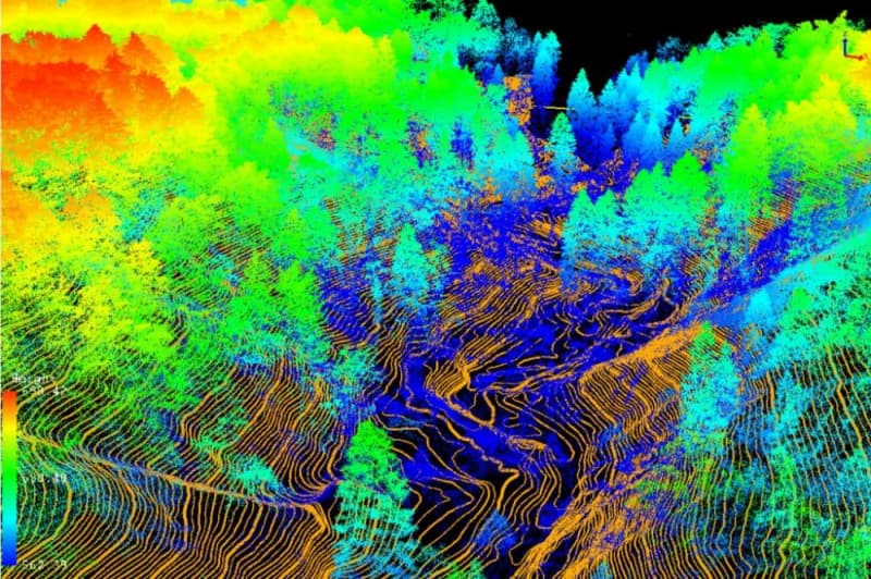
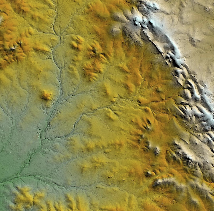
LiDAR Mapping
Generate precise elevation and terrain models using state-of-the-art LiDAR technology.
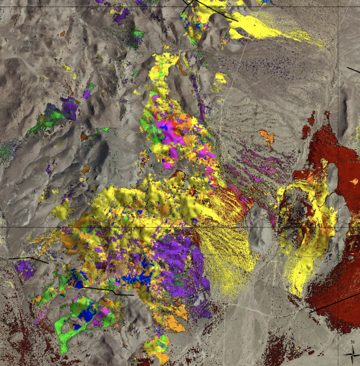
Geospatial Data Analytics
Transform complex spatial data into actionable intelligence with advanced analytics and machine learning.
Web Mapping & Cloud Data Delivery
Access, visualize, and share your geospatial data securely in real time through custom web platforms.
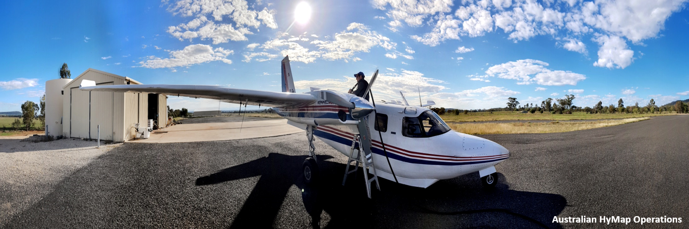
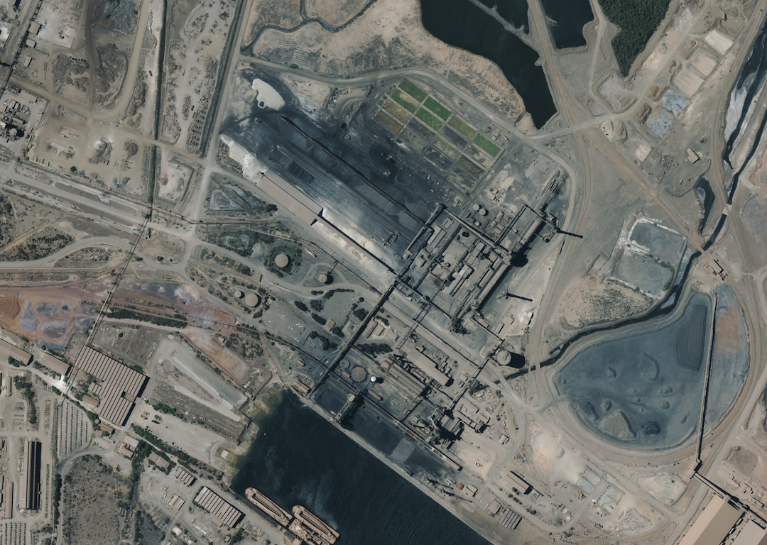
Aerial Survey Operations
Flexible, scalable aerial surveys—covering national projects and remote areas with experienced crews and modern aircraft.
Why Choose Us?
Expertise You Can Trust
With decades of combined experience, our team delivers world-class aerial mapping, remote sensing, and geospatial analytics for clients across Australia.
End-to-End Solutions
From flight planning to final deliverables, we manage the entire process in-house—ensuring quality, speed, and seamless integration.
Cutting-Edge Technology
We invest in the latest sensors, AI analytics, and cloud platforms to give you the most accurate, actionable data available.
Client-Focused Service
We listen, adapt, and deliver tailored solutions to meet your project goals—no matter the scale or complexity.
Reliable, Responsive, Local
Proudly Australian-owned and operated, we’re always ready to support you with responsive communication and local expertise.